
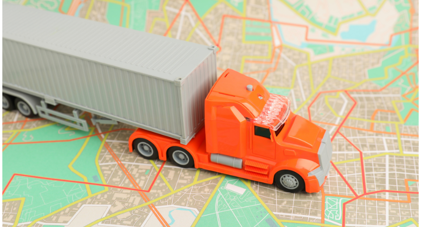
A commercial truck GPS can avoid a low bridge, route around a hazmat restriction, or direct a driver away from a road that prohibits heavy vehicles. Those decisions happen in seconds, but the information behind them is built over months or even years through data collected from government agencies, commercial mapping companies, transportation departments, and field verification.
Unlike passenger vehicle navigation, truck routing depends on a constantly changing database of commercial vehicle restrictions. Every new bridge, roadway project, weight limit, and designated truck route has the potential to affect how commercial vehicles move through a community.
No Single Organization Maintains Truck Mapping Data
Many drivers assume truck-specific maps come from one national database, but the information is gathered from thousands of sources. State departments of transportation publish designated truck routes, bridge information, roadway restrictions, and construction updates. Local governments may establish truck-prohibited streets, seasonal weight restrictions, or changes to commercial vehicle access.
Commercial mapping providers collect that information, compare it with field data, satellite imagery, engineering records, and customer reports before incorporating verified changes into their routing platforms.
Because agencies update information on different schedules, mapping companies are continuously reviewing changes rather than publishing one large annual update.
Bridge Heights Require More Than a Measurement
One of the most valuable pieces of truck-specific routing data is bridge clearance information, but recording a bridge height is not as simple as measuring the structure once.
Clearances can change after roadway resurfacing, bridge rehabilitation projects, or reconstruction work. Some states also publish legal clearance values that differ from physical measurements because they include built-in safety margins for commercial vehicles.
Before changes are added to commercial routing databases, mapping providers typically compare information from transportation agencies with engineering records and other verified sources to reduce the likelihood of routing errors.
Truck Restrictions Extend Beyond Bridge Heights
Bridge clearances receive the most attention, but truck routing depends on hundreds of other restrictions that passenger vehicle navigation does not consider.
Commercial mapping databases may include designated truck routes, hazardous materials restrictions, vehicle weight limits, length restrictions, seasonal road limits, tunnel regulations, and roads where commercial vehicles are prohibited altogether.
Each restriction must be associated with the correct roadway segment so routing software can determine whether a truck may legally continue or should be directed to an alternate route.
Construction Creates One of the Biggest Challenges
Permanent restrictions are only part of the equation. Construction projects, emergency bridge repairs, utility work, and long-term lane closures can temporarily change truck access on major highways and local roads.
Transportation agencies issue updates throughout these projects, but incorporating those changes into commercial navigation systems requires verification and processing before they become part of routing databases. As a result, different navigation platforms may display temporary restrictions at different times depending on when their mapping data was last updated.
That is one reason many fleets continue monitoring state DOT advisories alongside commercial navigation software, particularly when operating through active construction zones.
Driver Reports Continue to Improve Mapping
Technology has improved dramatically over the past two decades, but drivers still play an important role in identifying mapping issues. Many commercial navigation providers allow users to report incorrect bridge heights, missing truck restrictions, new road connections, or routing errors.
Those reports are not added automatically. They are typically reviewed alongside information from transportation agencies and other sources before becoming part of future map updates.
That verification process helps reduce inaccurate reports while allowing mapping databases to improve as road networks continue changing.
Frequently Asked Questions
How often do commercial truck maps receive updates?
Update schedules vary by provider. Many commercial navigation platforms release map updates several times each year, while cloud-connected systems may update certain routing information more frequently.
Why can two truck GPS units suggest different routes?
Different companies maintain separate commercial mapping databases, update them on different schedules, and use different routing algorithms when calculating commercial vehicle routes.
Can drivers report incorrect truck routing information?
Many commercial navigation providers accept user-submitted reports for incorrect restrictions, bridge clearances, or routing issues. Those reports are typically reviewed before being added to future map releases.
Where do truck routing companies obtain road restriction information?
Much of the information comes from state departments of transportation, local governments, engineering records, commercial data collection, field verification, and ongoing roadway updates.